Author: PLan
-
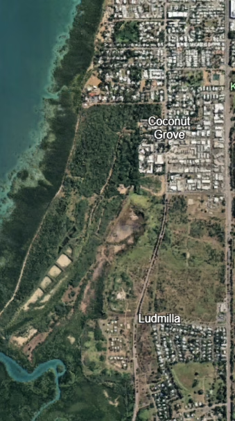
Landfill and Contamination Legacy of the Kulaluk–Minmarama Lands
A Legacy of Dumping Parts of the Minmarama lease were used as Darwin’s municipal dump, expanded after Cyclone Tracy in 1974. Byrne Consultants (2023) confirm that uncontrolled waste and fill were placed across the lands, leaving a legacy of contamination that still requires assessment before development can safely proceed. In 2021, the NT Environment Department…
-
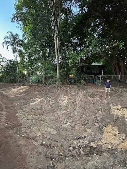
Environmental Significance of the Kulaluk–Minmarama Lands
Ludmilla Creek: Darwin’s Last Living Creek System Most of Darwin’s mid-suburb waterways have been channelised and degraded into stormwater drains, but Ludmilla Creek is different — it is still a living tidal system. Mangroves line its banks, fish and birdlife depend on it, and people still fish and crab here. Ludmilla creek is last remaining…
-

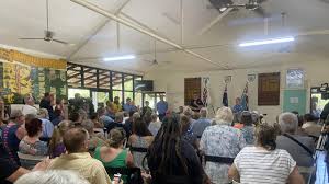
Tudawali Park Public Meeting
Tudawali Park Meeting – 27 September PLAN convened a public meeting at Tudawali Park on 27/09 after Ostermann residents raised their alarm and confusion about:– a massive spoon drain built behind their homes,– hectares of bush cleared on the Seth Chin block. Ludmilla residents also wanted answers about a new fence erected around the MacDonald…
-
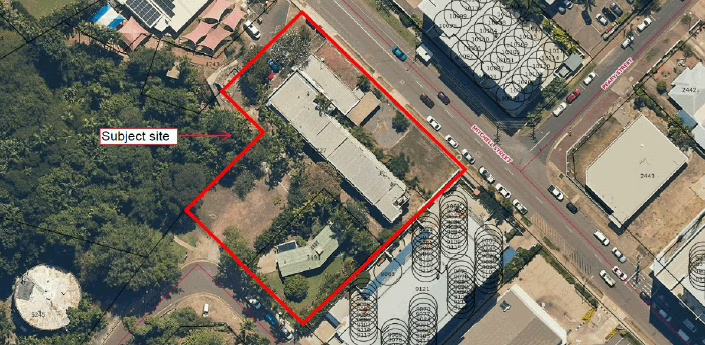
YWCA Rezoning Proposal Raises Questions About Specific Use Zones
The YWCA has lodged a Planning Scheme Amendment to rezone its land at 121 Mitchell Street and 12 Doctors Gully Road, Larrakeyah. Listed as Planning Application PA2025/0283, the proposal is on public exhibition from 5 September until 3 October 2025. The land is currently zoned Low–Medium Density Residential (LMR). The amendment seeks to place it…
-
Fast Tracking Change
A Fast-Track Planning System at the Expense of Democracy On 27 August 2025, the Minister for Lands, Planning and Environment issued a declaration under section 11(3) of the Planning Act 1999, exempting certain classes of planning scheme amendments from public exhibition. The declaration is here: Declaration under section 11(3) – Class of Amendments (PDF): https://nt.gov.au/__data/assets/pdf_file/0005/1555394/declaration-under-section-11-3-of-the-planning-act-1999-class-of-amendments.pdf…
-
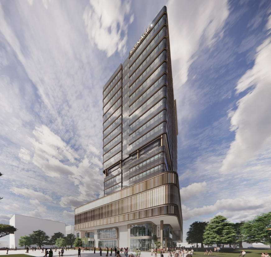
Why the Harry Chan Site Should Be Heritage Listed
Darwin once had a thriving Chinatown, centred on Cavenagh and Bennett Streets, stretching across to what is now Civic Park and the Harry Chan site. From the late 19th century, Chinese migrants ran stores, boarding houses, herbalists’ shops, cafés, and gardens here. Chinatown was both an economic hub and a cultural heart for Darwin’s Chinese…
-

Candidates win right to ‘reasonably canvass’ without fines after Supreme Court battle against City of Darwin, NT Electoral Commission
From NT News 22/8/25 Candidates can no longer be fined for “reasonably canvassing” during early voting, following a legal stoush with the City of Darwin and the Northern Territory Electoral Commission. The breakthrough came during a Supreme Court hearing on Wednesday, after legal action was launched by lord mayoral hopeful Leah Potter. It was backed…
-
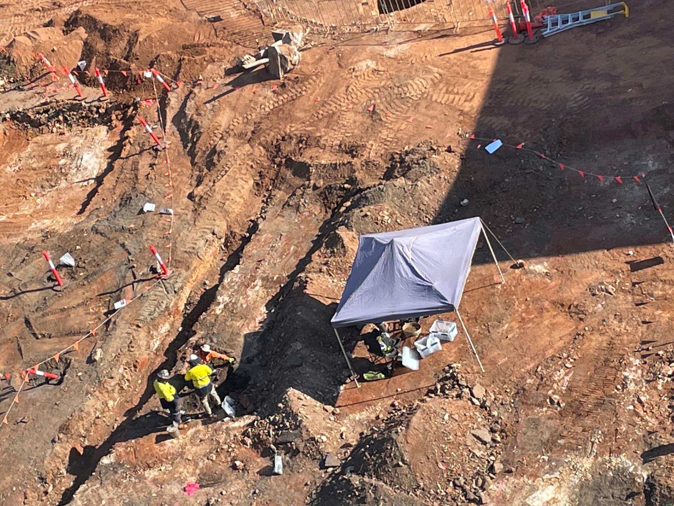
Legal action filed against Darwin Council over new civic centre
From NT Independent article: https://ntindependent.com.au/legal-action-filed-against-darwin-council-over-proposed-civic-centre/ A Federal Court application has been lodged seeking to force Darwin Council to hand over documents relating to the deal it struck with developer DCOH to build the controversial 21-storey civic centre-private office tower, along with details of how it is using ratepayer money on the project. An originating application…
-
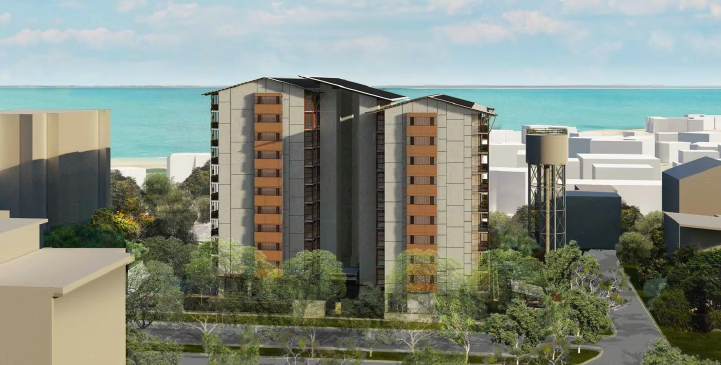
Asti Motel site is back – 2025
Public Submission: PA2025/0247 – Amendments to DP24/0010 Closing Midnight Friday, 12 September 2025 To: Development Assessment ServicesSubject: Public Submission on PA2025/0247 – Objection due to Outdated Supporting Material We respectfully submit this correspondence as a formal public submission regarding PA2025/0247, amending development permit DP24/0010. 1. Fragmented and Outdated Documentation The applicant relies heavily on supplementary…
-

Darwin Council hid costings for two alternative civic centre designs from public
NT Independent by David Wood | Aug 13, 2025 | Business, News, Costings for two different versions of the new Darwin Council civic centre were given to council but never made public in the months before it put out an expression of interest for the building, that led to a partnership with developer DCOH to build the controversial 21-story hybrid civic…