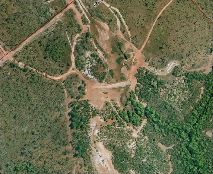
 Mitchell Creek is Palmerston’s unique urban catchment system. From near the Stuart Highway in the North, it runs into the Elizabeth River and Darwin Harbour in the South. Tributaries flow into the main stream like tree roots as seen from the air in Google Earth. With Palmerston East now being built into new suburbs, such as Johnston, Zuccoli and Mitchell, the catchment could be destroyed by development.
The Mitchell Creek Catchment is Palmerston’s equivalent of the Rapid Creek and Ludmilla Catchments in Darwin. Both of these are recognised for their special environmental values and are protected by broad Conservation Zones (CN).
The Northern Territory Planning Scheme (NTPS) is the Bible of planning for the whole of the Northern Territory.
In the User Guide page ( i ) of the NTPS it states:
‘The Area Plans are found in Part 8 of the Planning Scheme and include both text and diagram explaining the intentions for use and development of that area. The Plans show the intended land use outcome for the particular location for the guidance of the community and the consent authority. Although not binding on the consent authority, it should not make determinations that are demonstrably inconsistent with or would frustrate the achievement of the outcomes. An Area Plan may be accompanied by Planning Principles specific to the area described.’
The introduction to Part 8, Clause ‘14.0 Area Plans’ confirms and reinforces the significance of the Area Plans, as follows:
‘The interpretation of this Planning Scheme and the determinations of a consent authority are to be consistent with any Area Plan and associated planning principles in this Part applicable to the circumstances.’
It is therefore reasonable that the community should expect that the Area Plans for Palmerston East would therefore reflect the ultimate outcomes for the Mitchell Creek Catchment.
Part 8, of the NTPS, Clause 14.5 Palmerston (Part 8, Pal i-ii) contains a set of Principles and the three Palmerston Eastern Suburbs Area Plans (Plans 1,2,3 of 3) at (Part 8, Pal to iii-v). The Area Plan maps show Johnston, Zuccoli and Mitchell, each with broad area with white interlocking conservation areas. These are apparently based on reports of two consultants- GHD and ECOsystems in 1996. Work leading to the care of Mitchell Creek was praised by former Minister Chris Burns in an Estimates Committee hearing.
All this basis, particularly the role of Area Plans, seem to have been denied in a Planning Amendment approved earlier in 2011. In it, a narrow corridor for Mitchell Creek in Johnston was created as a Conservation Zone(CN) by Minister Gerry McCarthy. The Minister, in doing so, took the advice of departmental planners, and presumably the DCA.
Since PLan, including especially Sue MacKinnon, have been campaigning for the conservation zoning of the Mitchell Creek Catchment, and explaining its environmental and recreational values, we were surprised and stunned by this action. Sue has now established a Friends of Mitchell Creek Landcare Group, see http://friendsofmitchellcreek.org.au
PLan works on to have the Mitchell Creek Catchment properly zoned as Conservation (CN).
The NTPS is at: http://www.nt.gov.au/lands/planning/scheme/index.shtml