Category: Blog & Opinion
-

-
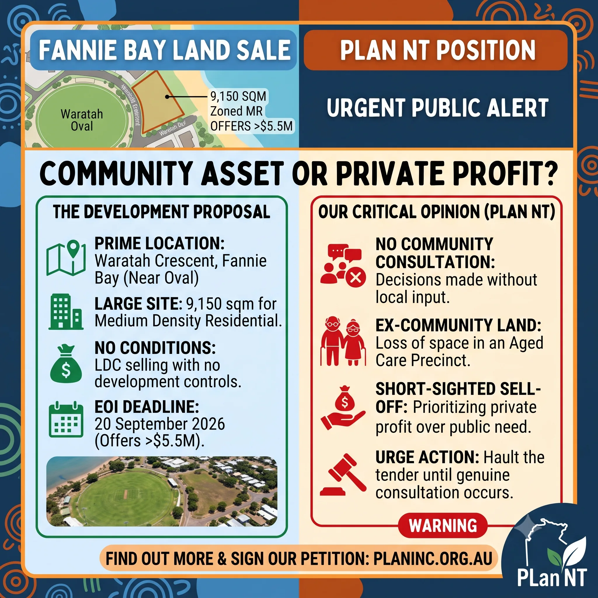
7 Waratah Crescent, Fannie Bay
Letter to the editor as published: https://ntindependent.com.au/letter-to-the-editor-give-pearl-land-to-expand-aged-care-services/ To the Editor, Lands and Planning Minister Josh Burgoyne has now responded to community calls for a public-interest assessment before the Land Development Corporation sells the remaining public land at 7 Waratah Crescent, Fannie Bay, beside Southern Cross Care’s Pearl aged-care and retirement community. The minister states that…
-
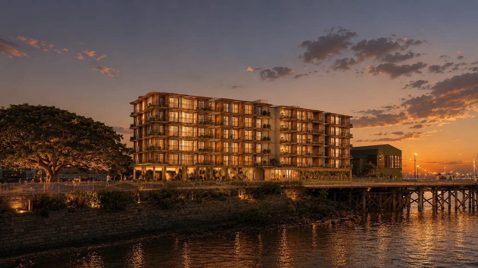
Another Bottom of the Harbour Scheme.
Community Group Challenges Decision to Count Ocean Water as Public Open Space DARWIN, NT — The Planning Action Network (PLan) has called out a planning interpretation that allows ocean water below the high tide mark to satisfy statutory public open space requirements for a commercial hotel development on Stokes Hill Road. At a Development Consent…
-
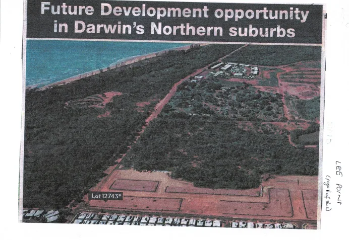
Historical Aerial: Lee Point Corridor & Lot 12743 (c. 2010)
Key Visual Markers Confirming the Era The photo captures the boundary of Darwin’s northern growth corridor right at the moment the transition from Lyons/Muirhead into the broader Lee Point peninsula planning framework was being publicly advertised.
-
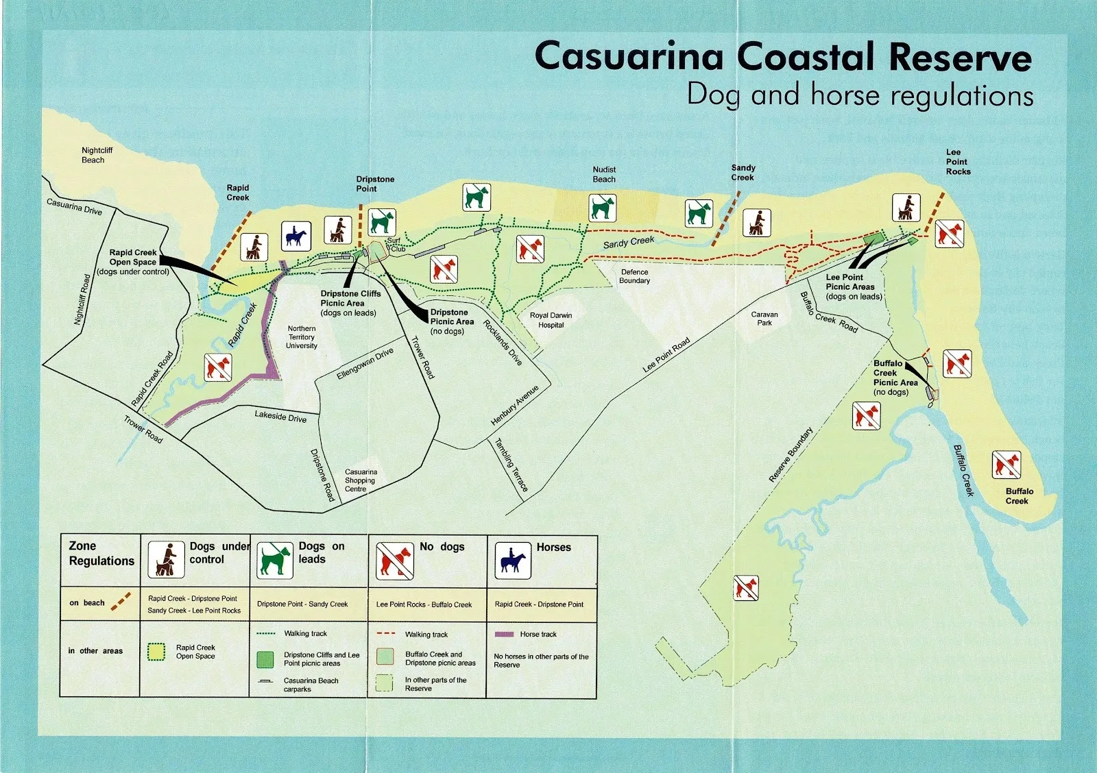
Casuarina Coastal Reserve Regulatory Map
Coverage: Coastal strip spanning Nightcliff Beach, Rapid Creek, Dripstone Point, Sandy Creek, Lee Point Rocks, and Buffalo Creek. Dog Regulations: Restricts dogs off-lead at Nightcliff/Rapid Creek, requires leads at Dripstone and Lee Point picnic areas, and bans dogs completely at Dripstone Picnic Area and Buffalo Creek. Horse & Recreational Access: Permits horses exclusively on the…
-
Public Asset Commercialisation Timeline
How did public Defence land come to be channelled into private for-profit residential development through a corporatised and commercialised Commonwealth housing authority? The transition was facilitated through a series of institutional and policy changes. One mechanism was the corporatisation of public institutions. Rather than continuing to undertake certain functions directly, governments increasingly created separate corporate…
-
DHA Lee Point Road residential expansion timeline 2000 to 2015
By PLan correspondent Sonja Pastor The significant natural, cultural and historical heritage values of the Lee Point headland The Lee Point headland was already nationally recognised for its significant natural and cultural values in 1991 as part of the Darwin foreshores listing on the Register of the National Estate. Source: https://www.environment.gov.au/cgi-bin/ahdb/search.pl?mode=place_detail;place_id=16107 In 1996, Native Title…
-

85 Progress Drive, Nightcliff – Proposed 14 Unit Apartment Development
Planning application: Lot 01861 Town of Nightcliff85 Progress Drive, Nightcliff Zone:MR (Medium Density) Proposal:Dwelling-multiple (14 x 2-bedroom apartments) in a three-storey building with setback variations. Applicant:Cunnington Rosse Town Planning and Consulting Existing use:11 dwellings in single and two-storey buildings with associated outbuilding. Assessment category:Impact Assessment Value of works:$5.88 million Exhibition closes:Friday 29 May 2026 Planning…
-
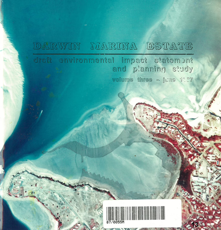
10 People how many car parks?
Submission to the Development Consent Authority Reference: PA2026/0094 Location: Lot 05818 (96) Cullen Bay Crescent, Larrakeyah Objector: Planning Action Network Inc. (PLan) 1. PLan’s Opinion on Planning Merit vs. Personal Circumstance It is PLan’s opinion that the applicant’s primary justification for the requested variations relies on a misinterpretation of “Planning Merit.” The report cites the…
-
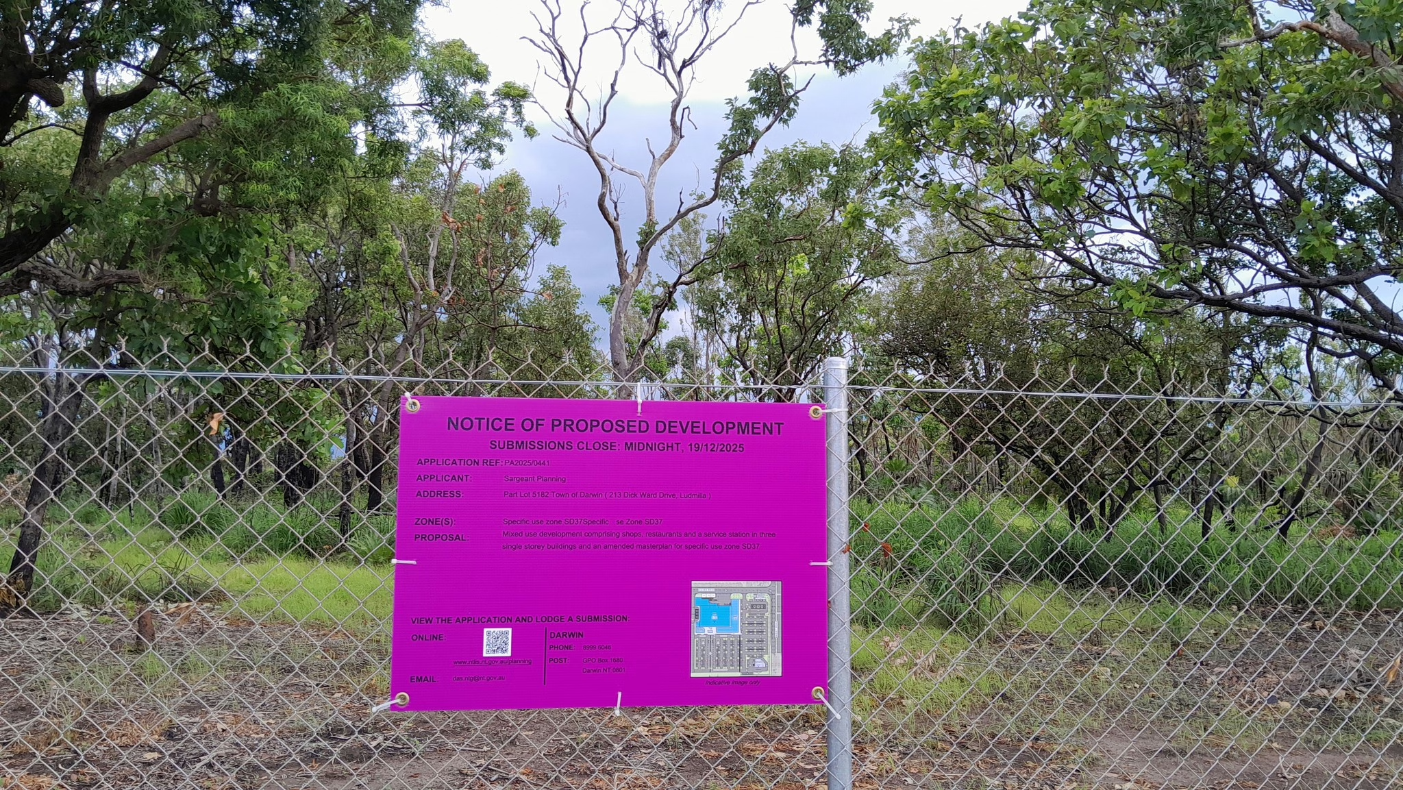
Limits to public scrutiny in the Northern Territory planning system
There are clear limits to public scrutiny in the Northern Territory planning system. Despite Minister Burgoyne’s claim that the Planning Act 1999 contains “robust provisions for public consultation and input”, recent experience suggests that this is not how the system operates in practice. Key risks and objections can be raised by the community, yet still…